
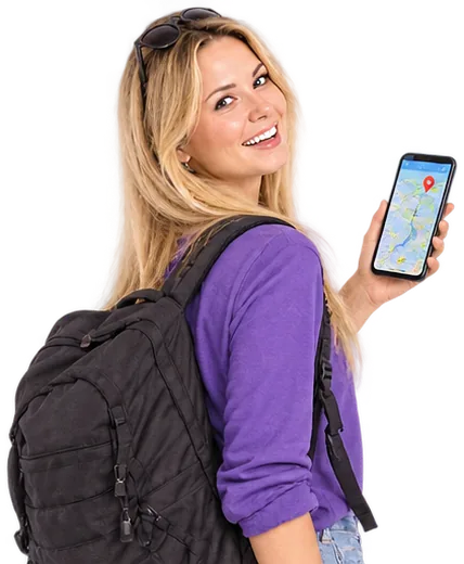
Cut a long route into the days of a tour, with every day ending near a place to stay, or split it every few kilometres, at the breaks in a recording, or exactly where you tap on the map.
 So funktioniert's
-

1Drop your route
One GPX, TCX, FIT, KML or GeoJSON file: a long tour, a recording with breaks, or a course for your device.
-

2Choose how to split
Into days with equal effort, every few kilometres, at breaks in the recording, or where you tap the route on the map.
-

3Download the parts
One file with a track per part, or a separate file for each part. You can also open the days in Triptime AI.
 Welches Format soll ich nehmen?
- GPX
Das Format, das fast jede App liest.Ideal für: Strava, Komoot, Garmin Connect, Wahoo, RideWithGPS
 Zeit Höhe
- FIT
Das eigene Format von Radcomputern und Sportuhren.Ideal für: Garmin- und Wahoo-Geräte Zeit Höhe
- TCX
Garmins Trainingsformat, mit Zeit und Strecke.Ideal für: Garmin Connect, TrainingPeaks Zeit Höhe
- KML
Googles Format für Karten.Ideal für: Google Earth, Google My Maps
 Zeit Höhe
- KMZ
A zipped KML: what Google My Maps and Google Earth export by default.Ideal für: Google My Maps, Google Earth Zeit Höhe
- CSV
A plain table of latitude, longitude, elevation and time.Ideal für: Excel, Google Sheets, QGIS Zeit Höhe
- GeoJSON
Für Webkarten und Code.Ideal für: QGIS, Mapbox, Entwickler Zeit Höhe
 Fragen und Antworten
How are the days balanced?
By effort, not only distance: 100 metres of climbing counts like about 1 kilometre on the flat, so hilly days are shorter. With "End each day near a place to stay" on, every day ends at a hotel or guest house close to that point.
Can I split a recording where I stopped?
Yes. Choose "At breaks" and how long a break has to be. This works for files with timestamps, such as recordings from Strava, Garmin or Wahoo.
My bike computer cannot load such a long route.
Split it every 50 or 100 kilometres, or into days, and save one file per part. FIT and TCX always give one file per part.
Can I choose the split points myself?
Yes. Choose "Where I tap" and tap the route on the map wherever you want a new part to begin. Tap a point again to remove it.
Werden meine Dateien hochgeladen?
Nein. Lesen und Schreiben passieren in deinem Browser, deine Dateien verlassen also nie dein Gerät. Das macht es auch schnell, selbst bei langen Touren.
Bleiben Höhe und Zeit erhalten?
Ja. Höhenangaben und Zeitstempel bleiben in jedem Format erhalten, das sie unterstützt: GPX, TCX, FIT und GeoJSON. KML behält die Höhe.
Ist es kostenlos?
Ja, komplett, ohne Konto und ohne Begrenzung der Dateianzahl.
 Weitere GPS- und Routenwerkzeuge
 GPS-Dateikonverter: GPX, TCX, FIT, KML
 GPX-Dateien zusammenführen: GPS-Tracks zu einem verbinden
 Google Maps zu GPX: Verwandle einen Routen-Link in eine GPX-Datei
 GPX-Viewer: Karte, Distanz und Höhenprofil
 Persönliche Heatmap: alle deine GPX- und Strava-Routen auf einer Karte
 Kostenloser Fahrrad-Routenplaner
 Kostenloser Wander- und Tourenplaner
 Kostenloser Routenplaner für Roadtrips